OpenFlows FLOOD
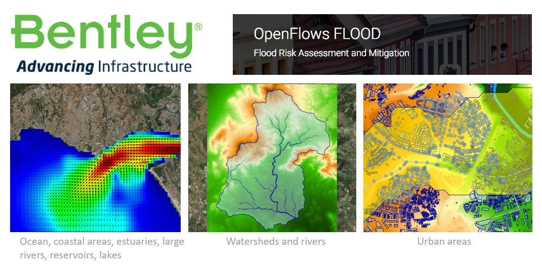
OpenFlows FLOOD by Bentley Systems is the successor of MOHID Studio and overcomes the complexity of running the MOHID Water and MOHID Land numerical models of MOHID Modelling System by integrating them into a user friendly graphical interface. Composed by a set of functional modules and tools, OpenFlows FLOOD allows performing all tasks related with model implementation, validation, execution and result analysis and visualization.
OpenFlows FLOOD contains a complete set of features and tools to help preparing all the necessary data and set up model simulations, including grid generation, initial and boundary conditions seamlessly. Numerical models can be launched directly from the user graphical interface and results can be visualized using a set of integrated visualization tools. Data interoperability is available for a wide range of standard formats.
Although OpenFlows FLOOD focus is understanding and mitigating flood risks in urban, riverine, and coastal areas, it keeps intact most of the features previously available in MOHID Studio, e.g. ocean and coastal hydrodynamics and water quality, oil spills, submarine outfall discharges, sediment transport, etc.
For more information on OpenFlows FLOOD: Click here
For students and educators additional information: Click here